


City of chicago - CHISTREETWORK
ChiStreetWork is the City of Chicago’s infrastructure map portal. The application was created to help facilitate project coordination between city agencies and utilities, and to provide city residents with valuable information about various construction activities and street impacts throughout the City. These activities include construction projects, special events, and roadway moratoriums. The ChiStreetWork is hosted by the Chicago Department of Transportation, based on data provided by city agencies, and private utilities.
Is my block getting repaved? You can enter your address here
city of chicago - Snow plowing
During snow storms, this Plow Tracker map will show real-time locations of city plows and salt spreaders. Residents can watch as snow clearing efforts start with the major streets then move to neighborhood streets to keep Chicago moving.
Did my street get plowed? You can enter your address here (based on Plow Tracker)
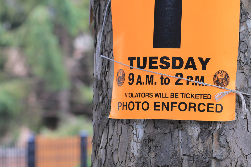
Street Sweeping
From April 1st through mid-November, bright orange temporary parking restrictions are posted the day before sweeping service is scheduled to begin on any street to ensure curb-to-curb cleaning. Just like with snow, there is a tracker online.
NORTH OF RASCHER (Sweep Area 3)
SOUTH OF RASCHER (Sweet Area 4)


Chicago Public Schools